May 31, 2016
An introduction to the beautiful woodcut created by Jacopo de’ Barbari in 1500 A.D.
“Among the many cities men have made, Venice stands out as a symbol of beauty, of wise government, and of community controlled capitalism”.
Frederic C. Lane
“Venice, A Maritime Republic”
City maps, as well as geographic views, were in high demand in a constantly developing city of the sea such as Venice. The most famous one is a bird’s eye view of Venice by Jacopo de’ Barbari realized in 1500 A.D.
The perspective was taken from the bell tower in the island of San Giorgio, which faces the Ducal Palace, as well as from the tower of San Giovanni Battista, at the end of the Giudecca. It is so accurate that modern historians and city planners still use it as a reference for their studies.
The city was divided into sections, and different teams of artists went around to sketch them in detail. Eventually de’ Barbari assembled the sketches and used them as a reference to create his astounding masterpiece. The only area with less detail was the Arsenale, the dockyards where the Venetian fleet was built. As a sensitive military zone, where the first assembly-line industrial methods were used in Europe, it was not to be depicted in full.
Important publications such as Salvadori and Perocco’s Civiltà di Venezia➤ use the de’ Barbari map to describe and explain Venice’s unique urban landscape and settings. This is a fascinating journey through an intricate maze of canals and walkways, apparently without an order, but, in fact, fully functional to the life of the city.
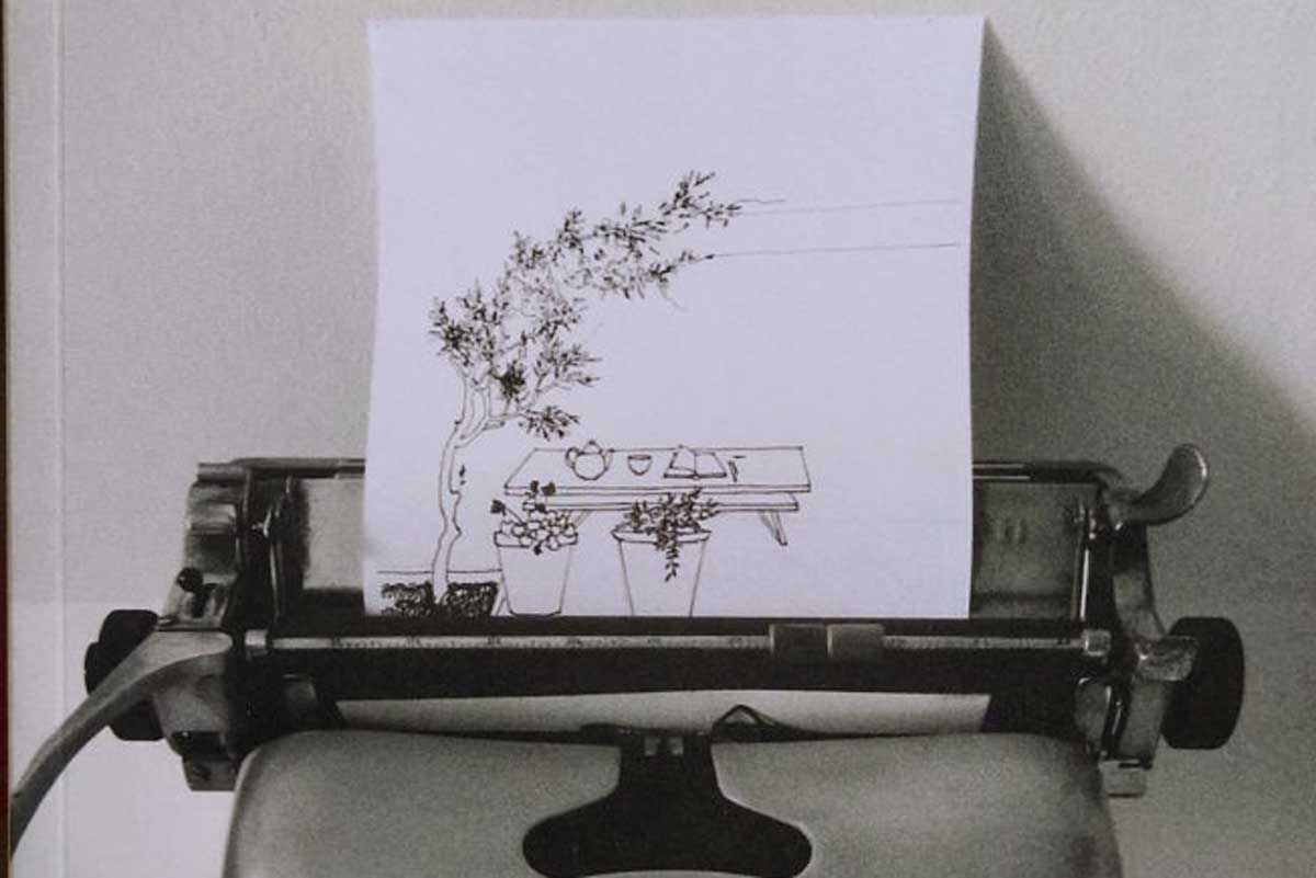
Waterways and walkways formed networks that intersected in small ports positioned in key locations. There the boats would unload the goods and groceries that entered the land network from the water circuit. One of such small ports is to be found in Campo San Boldo, a quiet, isolated spot and an ideal place to paint en plein air.
Through the de’ Barbari’s woodcut we also come to learn about the peculiar constructions that constituted the infra-structures of a sea city where boats of all kinds and shapes were more numerous than pedestrians.
This amazing woodcut was printed from 6 large wood blocks (281x131cm.). An impression of the original print, as well as the 6 blocks, are displayed in the Correr museum➤ Paper of such large size was not available in those days; so special screens and a special press had to be constructed for this purpose.
You can view a 3D representation of the map posted on YouTube➤ by the City Museums